Log in
All resources
Create a design
33,629 Free Images of 1667 Maps
copper engraving print
british library
joan blaeu
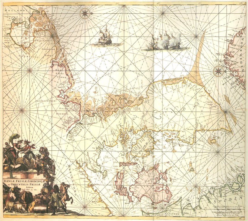
atlas maior, vol 5 (england) - joan blaeu, 1667 - bl 114.h(star).5
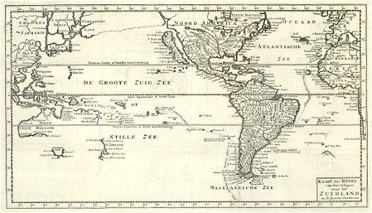
maps of the dutch east india company - india
1667 map of madagascar by guillaume sanson
bibliothèque nationale de france
gerard valck
maps made in the 18th century
old celestial maps
atlas maior, vol 5 (england) - joan blaeu, 1667 - bl 114.h(star).5
17th-century maps of cumberland
atlas maior, vol 5 (england) - joan blaeu, 1667 - bl 114.h(star).5
1660s maps of wales
atlas maior, vol 5 (england) - joan blaeu, 1667 - bl 114.h(star).5
17th-century maps of northumberland
atlas maior, vol 5 (england) - joan blaeu, 1667 - bl 114.h(star).5
17th-century maps of shropshire
atlas maior, vol 5 (england) - joan blaeu, 1667 - bl 114.h(star).5
17th-century maps of berkshire
atlas maior, vol 5 (england) - joan blaeu, 1667 - bl 114.h(star).5
17th-century maps of suffolk
atlas maior, vol 5 (england) - joan blaeu, 1667 - bl 114.h(star).5
17th-century maps of cambridgeshire
atlas maior, vol 5 (england) - joan blaeu, 1667 - bl 114.h(star).5
17th-century maps of radnorshire
atlas maior, vol 5 (england) - joan blaeu, 1667 - bl 114.h(star).5
17th-century maps of cheshire
atlas maior, vol 5 (england) - joan blaeu, 1667 - bl 114.h(star).5
17th-century maps of lancashire
atlas maior, vol 5 (england) - joan blaeu, 1667 - bl 114.h(star).5
17th-century maps of kent
atlas maior, vol 5 (england) - joan blaeu, 1667 - bl 114.h(star).5
17th-century maps of hertfordshire
atlas maior, vol 5 (england) - joan blaeu, 1667 - bl 114.h(star).5
17th-century maps of herefordshire
atlas maior, vol 5 (england) - joan blaeu, 1667 - bl 114.h(star).5
17th-century maps of westmorland
atlas maior, vol 5 (england) - joan blaeu, 1667 - bl 114.h(star).5
17th-century maps of nottinghamshire
atlas maior, vol 5 (england) - joan blaeu, 1667 - bl 114.h(star).5
17th-century maps of oxfordshire
atlas maior, vol 5 (england) - joan blaeu, 1667 - bl 114.h(star).5
17th-century maps of derbyshire
atlas maior, vol 5 (england) - joan blaeu, 1667 - bl 114.h(star).5
17th-century maps of sussex
atlas maior, vol 5 (england) - joan blaeu, 1667 - bl 114.h(star).5
17th-century maps of lincolnshire
atlas maior, vol 5 (england) - joan blaeu, 1667 - bl 114.h(star).5
17th-century maps of huntingdonshire
atlas maior, vol 5 (england) - joan blaeu, 1667 - bl 114.h(star).5
17th-century maps of essex
atlas maior, vol 5 (england) - joan blaeu, 1667 - bl 114.h(star).5
17th-century maps of somerset
atlas maior, vol 5 (england) - joan blaeu, 1667 - bl 114.h(star).5
17th-century maps of rutland
atlas maior, vol 5 (england) - joan blaeu, 1667 - bl 114.h(star).5
17th-century maps of cardiganshire
atlas maior, vol 5 (england) - joan blaeu, 1667 - bl 114.h(star).5
17th-century maps of gloucestershire
atlas maior, vol 5 (england) - joan blaeu, 1667 - bl 114.h(star).5
17th-century maps of hampshire
atlas maior, vol 5 (england) - joan blaeu, 1667 - bl 114.h(star).5
17th-century maps of wiltshire
atlas maior, vol 5 (england) - joan blaeu, 1667 - bl 114.h(star).5
17th-century maps of devon
atlas maior, vol 5 (england) - joan blaeu, 1667 - bl 114.h(star).5
17th-century maps of dorset
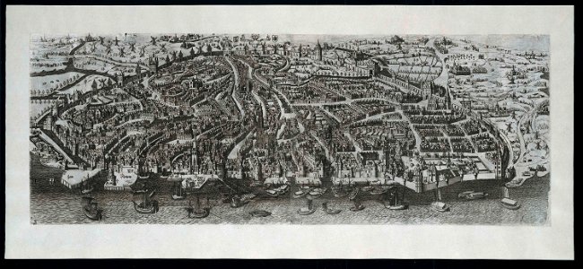
history of antwerp
renaissance
1667 map of madagascar by guillaume sanson
bibliothèque nationale de france
1667 map of madagascar by guillaume sanson
bibliothèque nationale de france
1667 map of madagascar by guillaume sanson
bibliothèque nationale de france
1667 map of madagascar by guillaume sanson
bibliothèque nationale de france
1667 map of madagascar by guillaume sanson
bibliothèque nationale de france
maps made in the 18th century
gerard valck
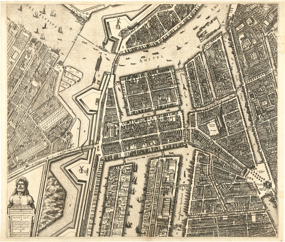
oudeschans
amsterdam
flemish 16th-century prints in the rijksmuseum amsterdam
maps of antwerp city walls
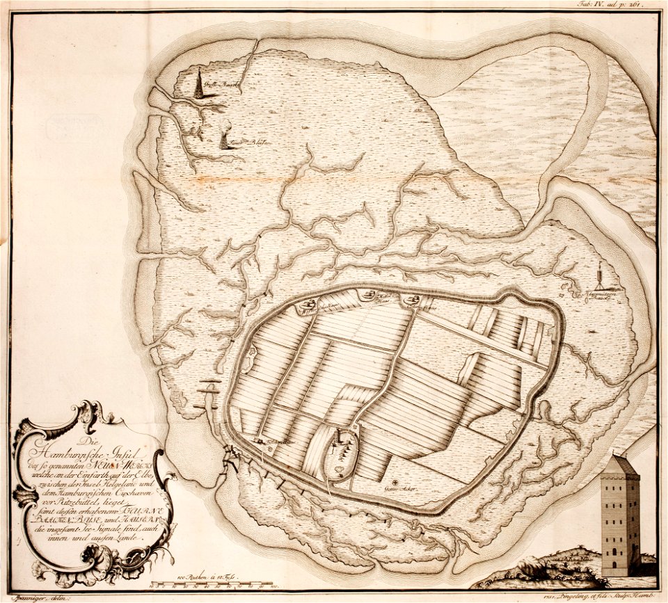
thomas albrecht pingeling
old maps of neuwerk
maps made in the 17th century
gerard valck
maps of battles of the netherlands
hugh mackay (general)
maps made in the 17th century
nicolaes visscher ii
maps made in the 18th century
gerard valck
cornell university library
pictorial maps
maps made in the 18th century
gerard valck
old maps of salzburg (state)
johann baptist homann
atlantis magni tomus quartus (biblioteca comunale di trento)
maps made in the 17th century
cornell university library
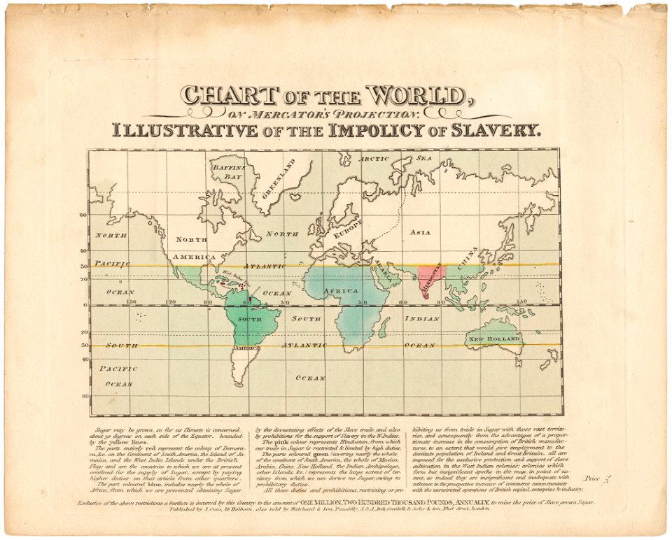
abolitionism
paintings by juan antonio de frías y escalante in the museo del prado
17th-century paintings of old testament
1660s paintings in the netherlands
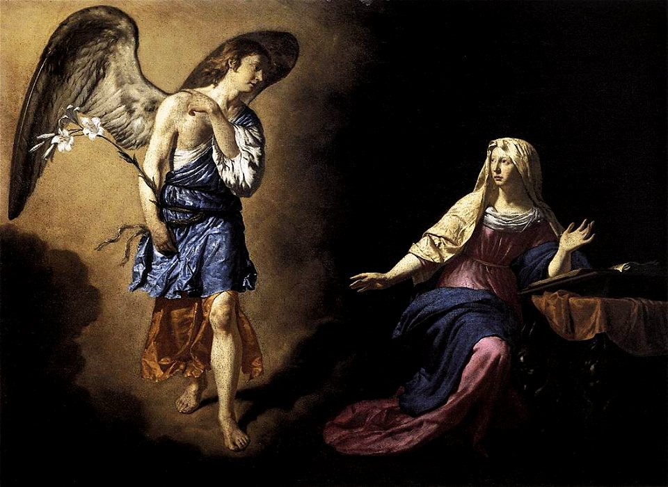
1667 paintings
paintings by adam frans van der meulen
trees in art
17th-century oil portraits of standing men at full length
holy roman emperor
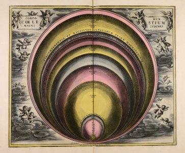
atlas maior, vol 3 (germany) - joan blaeu, 1667 - bl 114.h(star).3
johannes gigas
charts and maps of the royal museums greenwich
lucas janszoon waghenaer
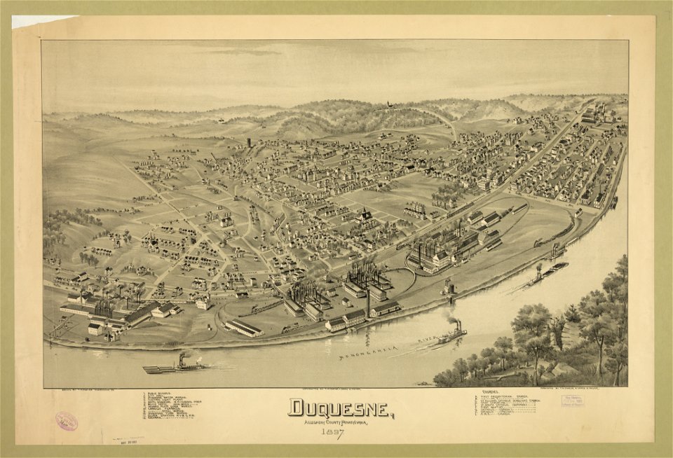
pennsylvania
duquesne
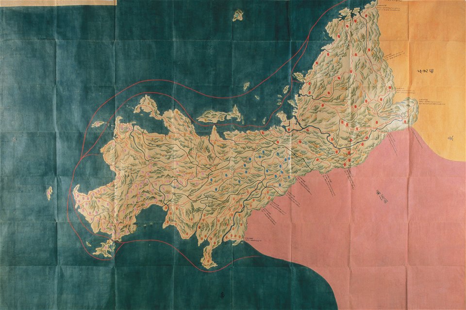
nagato province
genroku kuniezu
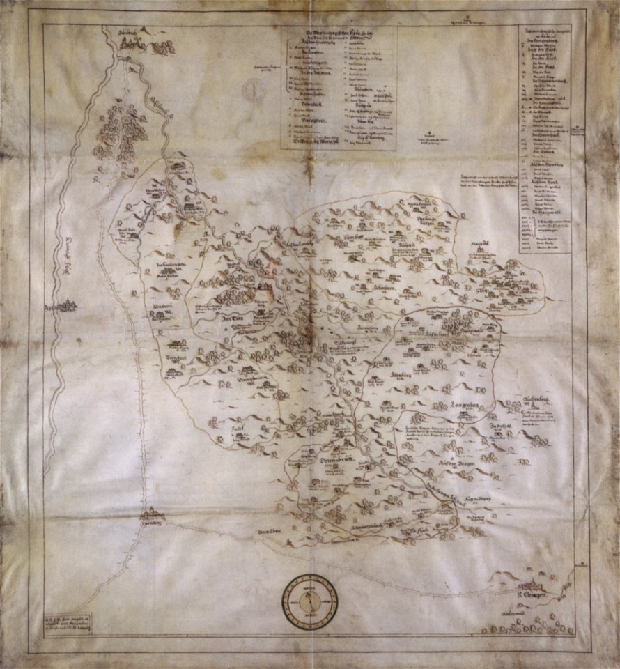
collections of hauptstaatsarchiv stuttgart
1584 maps
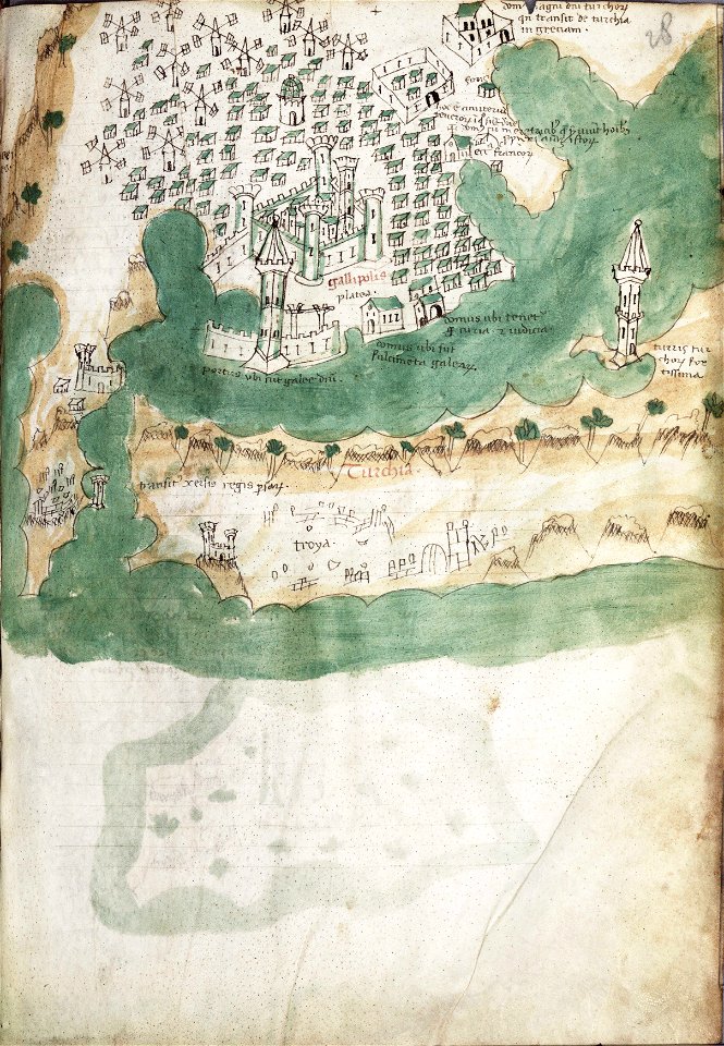
liber insularum archipelagi (royal museums greenwich)
gelibolu
asia and africa
1813 maps
old maps of the americas
1552
1550s maps of the world
1552
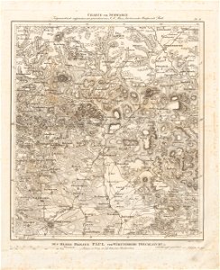
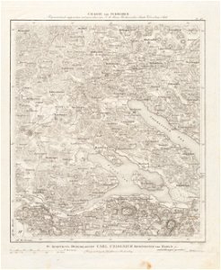
old maps of baden-württemberg
1552
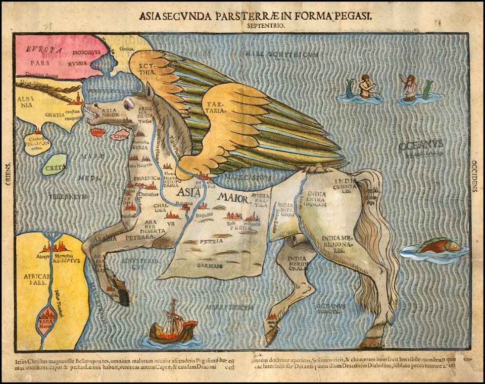
asia secunda pars terrae in forma pegasir
1580s maps of asia
bibliothèque municipale de reims
rès. g 153
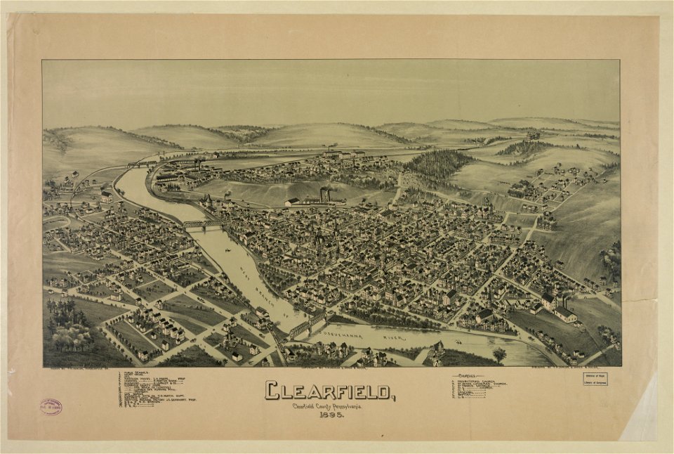
pennsylvania
clearfield
old maps of münster (westfalen)
caspar merian
bibliothèque municipale de reims
rès. g 152
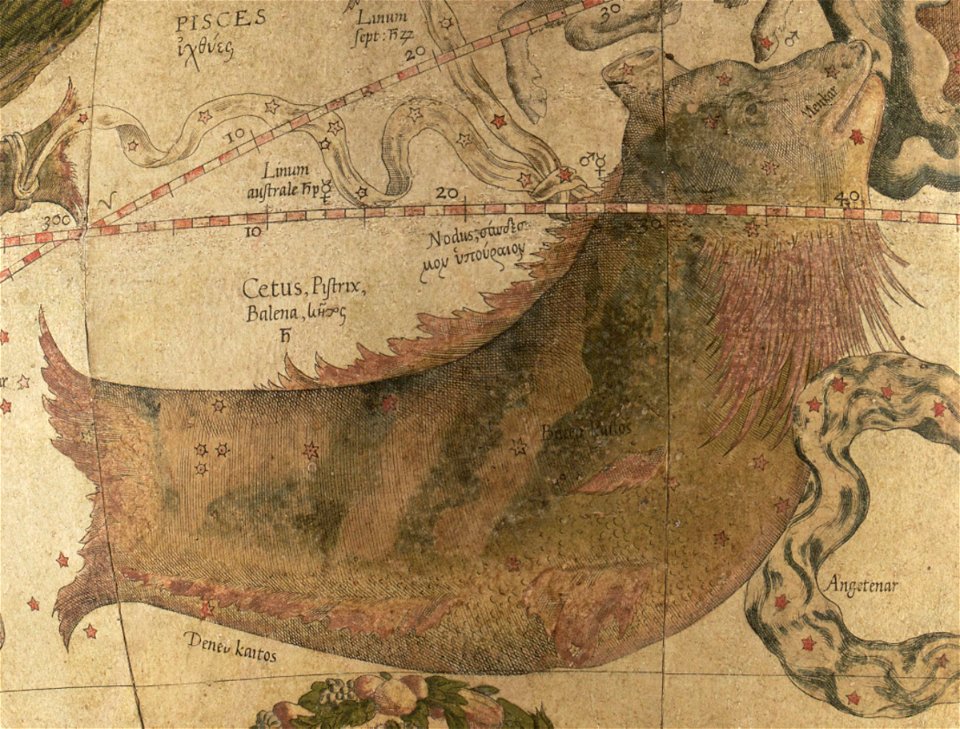
maps by gerardus mercator
mercator celestial globe
description des principales villes (1690)
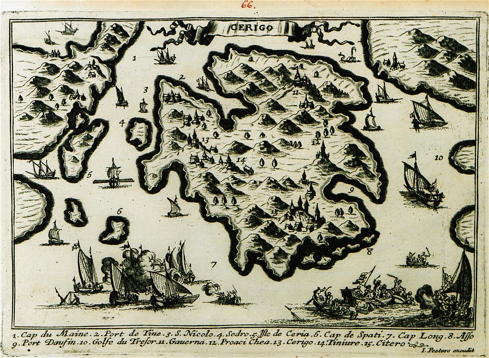
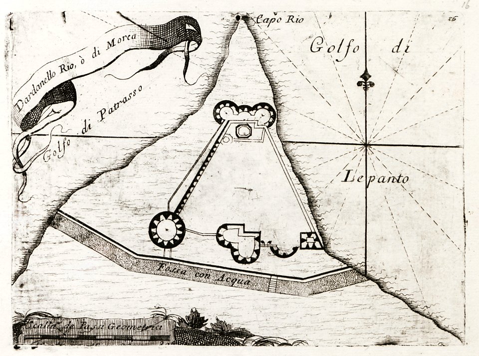
engravings of kythira
bibliothèque municipale de reims
rès. g 153
19th-century maps of bavaria
nördlinger ries
old maps of lake constance
reichenau island
de wikisource book leaflet
de nordseeküste (karten)
de wikisource book leaflet
de nordseeküste (karten)
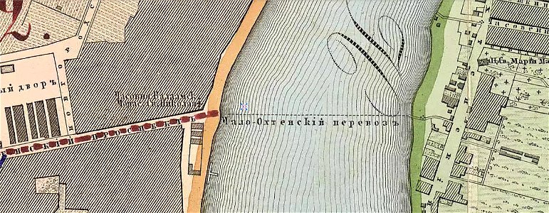
krasnogvardeysky district of saint petersburg
maps made in the 19th century
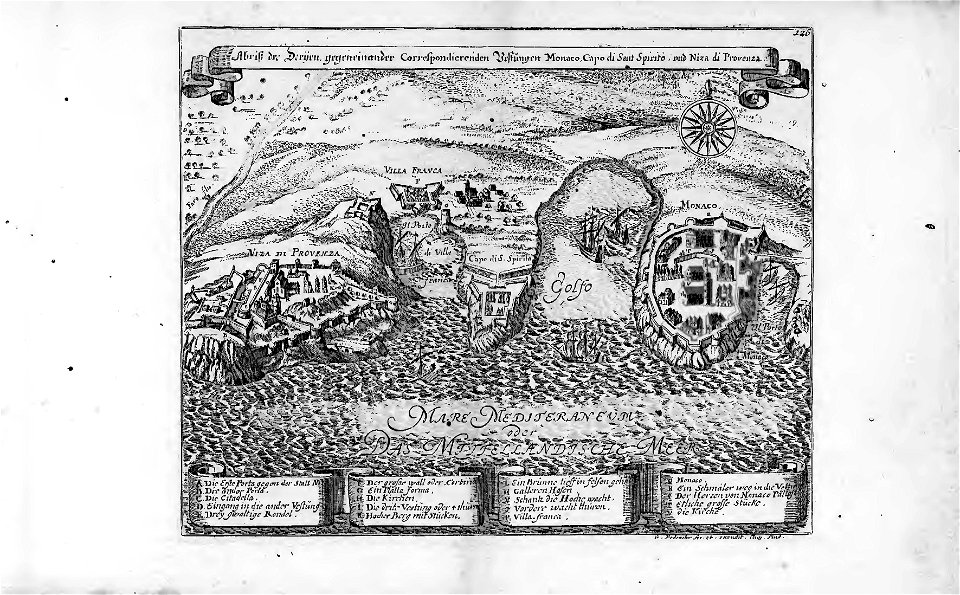
18th-century maps of the mediterranean sea
history of the mediterranean
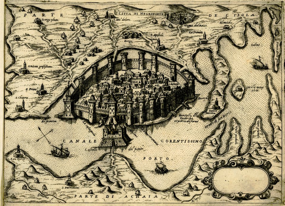
history of chalkida
giovanni camocio
il devotissimo viaggio di gerusalemme fatto
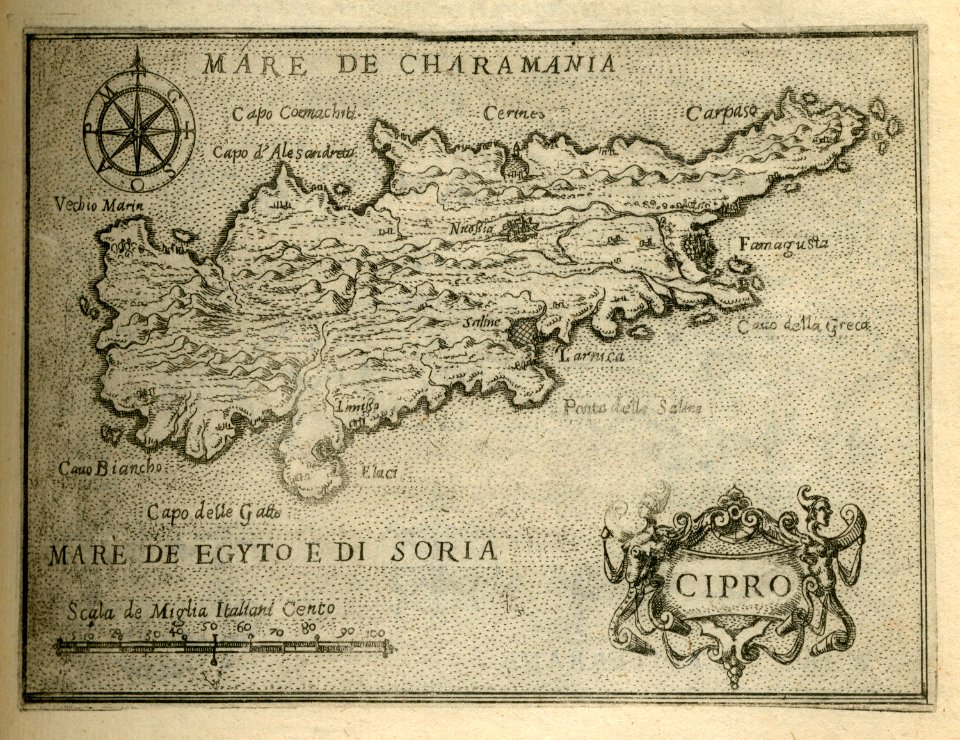
16th-century maps of cyprus
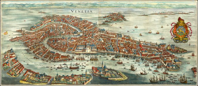
old maps of venice
matthäus merian
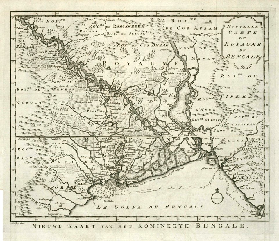
dutch bengal
1720s
ottoman empire
1635
dutch bengal
1720s
maps of the dutch east india company - india
1665
hans putmans
1665
old maps of the dutch east india company
1787
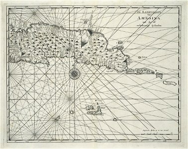
maps of the dutch east india company - indonesia
1739
banda islands
1724
maps of the dutch east india company - india
1724
maps of the dutch east india company - india
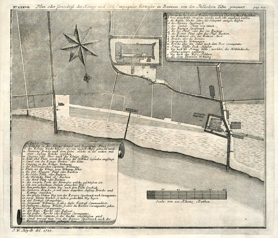
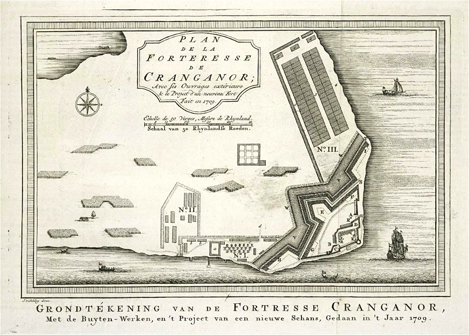
1709
maps of the dutch east india company - india
1755
old maps of the dutch east india company
1750
dutch bengal
1755
maps of the dutch east india company - indonesia
1763
geographical illustrations by coronelli
old maps of the peloponnese
maps by gerardus mercator
mercator celestial globe
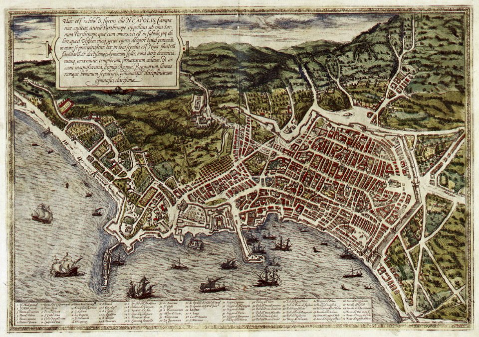
old maps of naples
braun & hogenberg
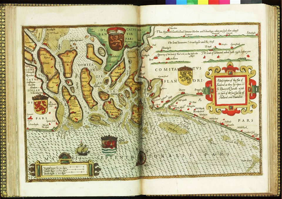
maps by willem and johannes blaeu
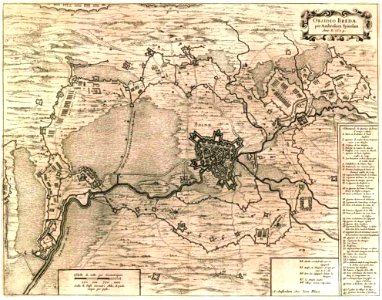
siege of breda 1624-1625
old maps of bredevoort
atlas van loon
west-indische compagnie
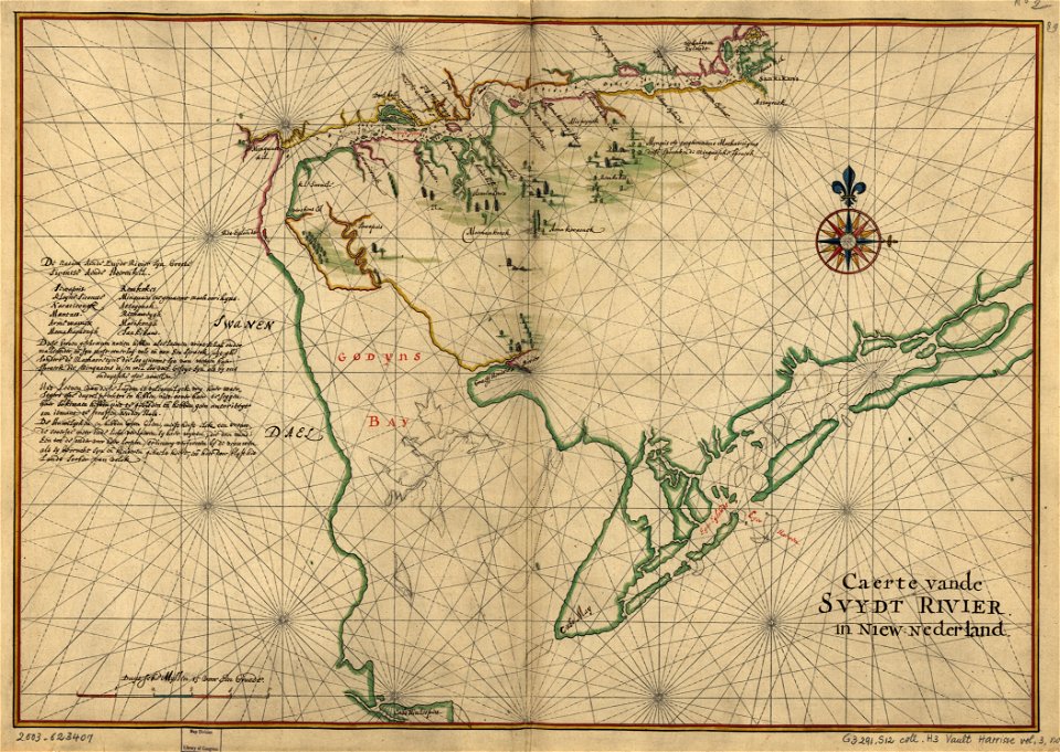
old maps of delaware
charts and maps of the royal museums greenwich
lucas janszoon waghenaer
8201 - 8300 of 33,629
Next page
/ 337